Autoice Competition
Organised by European Space Agency
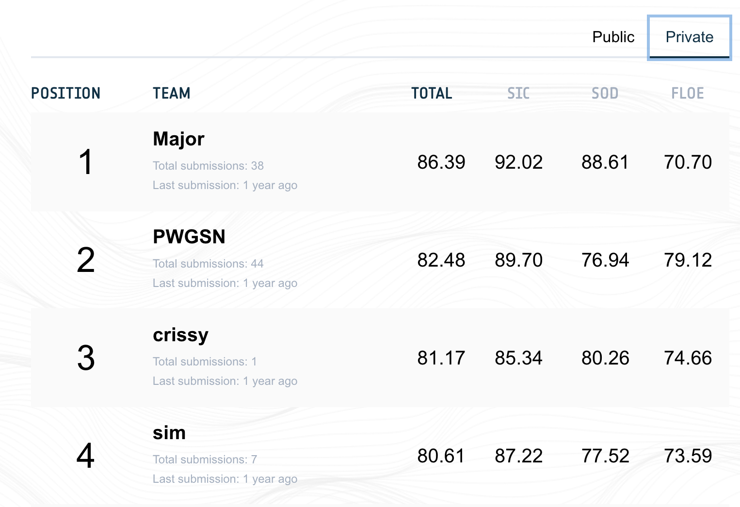
We were given data from multiple sensors like synthetic aperture radar (SAR) imagery, ERA5 temperature data, AMSR2 passive microwave radiometer along with ice-chart-derived label maps as ground truth. The task was to build a model which takes the data from multiple sensors and outputs three ice products: 1) Sea Ice Concentration (SIC), 2) Stage of Development (SOD), 3) FLOE size.
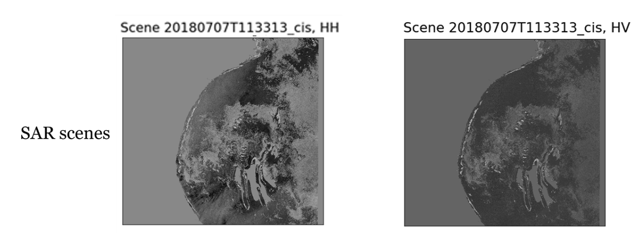
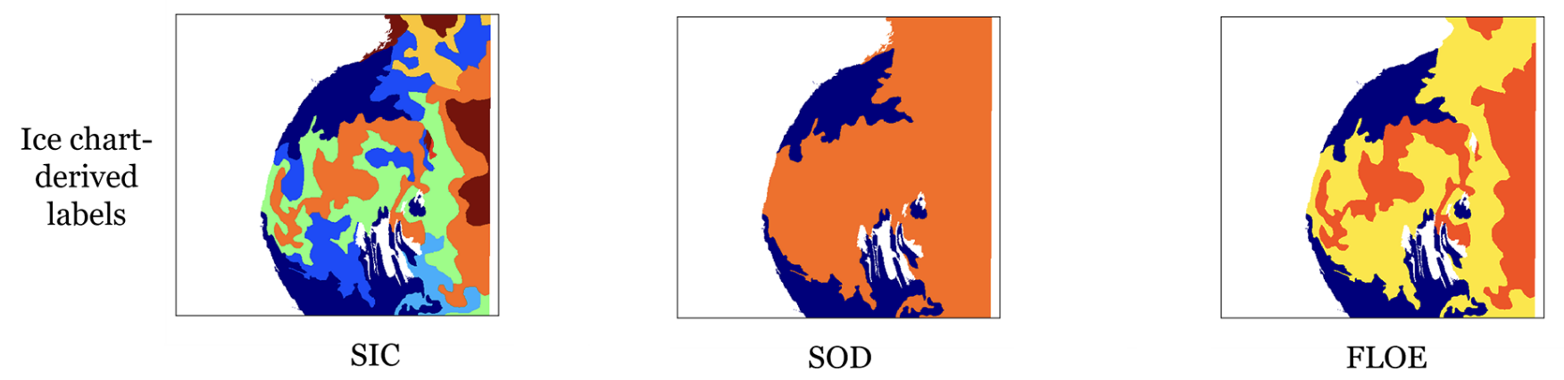
Instead of focusing on complicated model architectures, we gave more emphasis on developing new tricks like input SAR variable downscaling, input feature selection, spatial–temporal encoding, and the choice of loss functions. These innovations helped us achieve the first place over 30 teams worldwide.
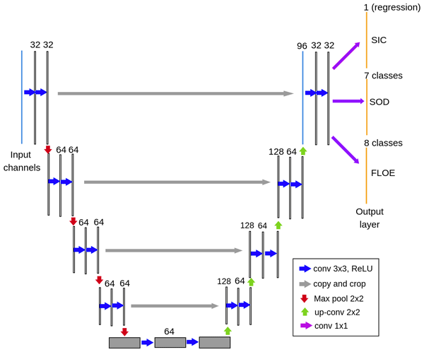
We utilized a very simple UNET and modified it a bit as shown in the figure below.
Next let us see the results qualitatively.
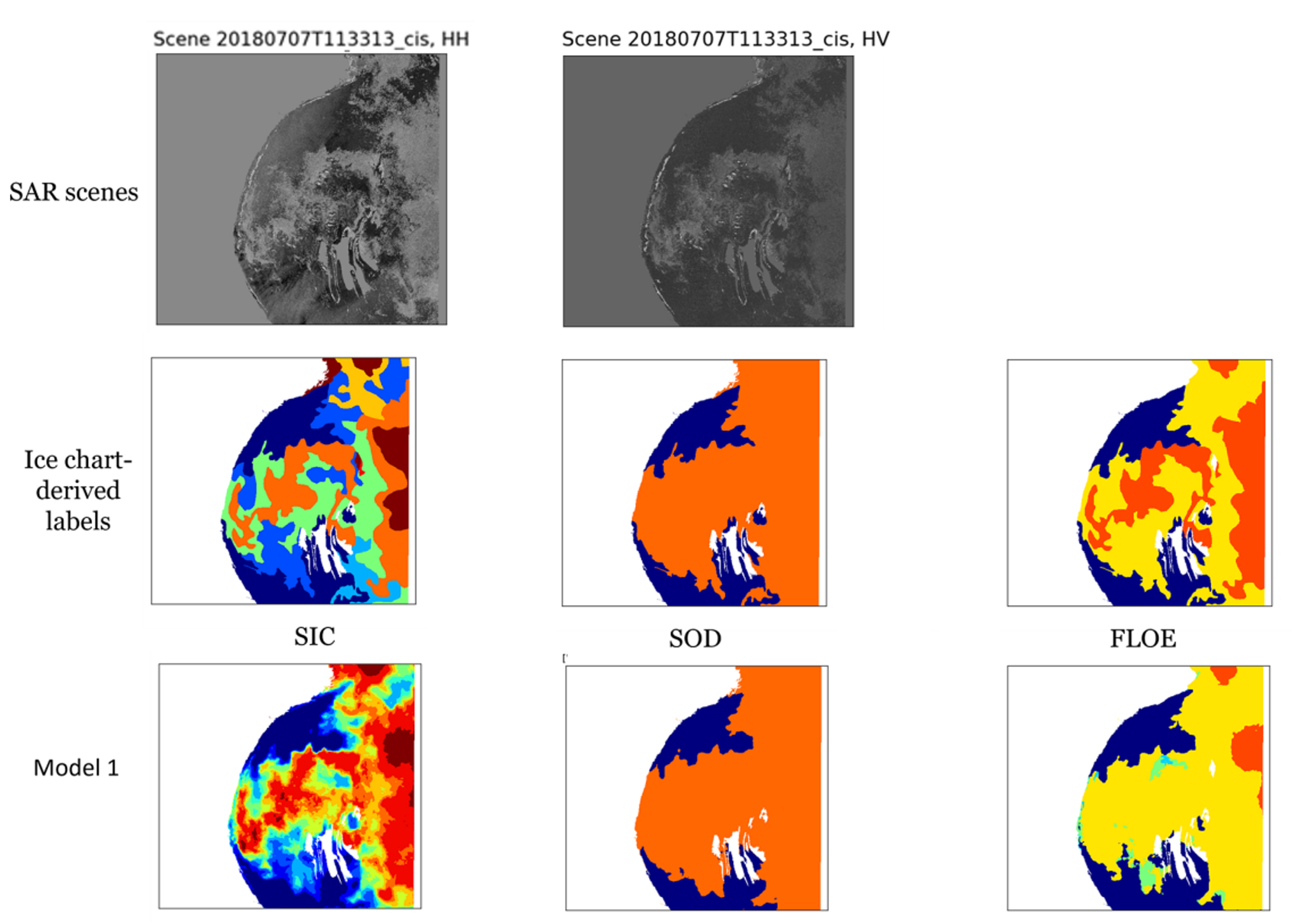
These simple yet effective solutions helped us to win the Autoice competition.
This is a joint project with my teammates at VIP lab. The technical report is available at: DOI.